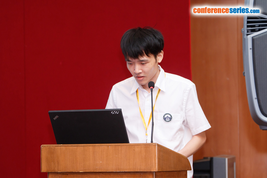
Yilang Shen
Wuhan University, China
Title: A hierarchical approach for change detection of water areas using a multi-scale tile map
Biography
Biography: Yilang Shen
Abstract
The data source of spatial data for change detection can be divided into raster and vector format. In traditional methods of change detection, remote sensing image is the primary raster data for change detection. In this paper, we describe the use of a new type of raster data, tile maps, to detect the change information of multi-scale water system. From the perspective of spatial cognition, we propose the theory of hierarchical change detection of water areas based on the multi-scale tile map. The detection level of multi-scale water change is divided into three aspects: macro level, medium level, micro level. We also classify the changes of water areas and establish a set of indicators and rules used for the change detection of water areas in the multi-scale tile map. In addition, we solve the key technology in the process of water extraction from a tile map. For evaluation purpose, the proposed method is applied in several test areas from TianDi map in China. After evaluating the accuracy of change detection, our experimental results confirm the efficiency and high accuracy of the proposed methodology.


